The Landscape of Combe Down
Combe Down is a village two kilometres to the south of Bath. The City of Bath is a World Heritage Site, so designated because of its 18th Century architecture and its Roman spa.
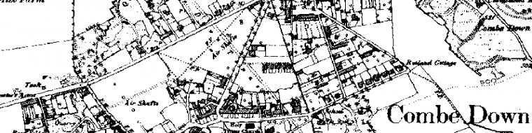
Bath and surrounding area
The area of the Group’s interest is that which is coterminous with the Combe Down local government Ward. It has a population of 5,000 or so with higher proportions of young and old than Bath as a whole. Originally divided between the parishes of Widcombe and Combe, it became an ecclesiastical parish in 1854 but, having existed somewhat in limbo between Bath and Somerset, its Ward was incorporated into the City of Bath in 1967. Over half the Ward is a Conservation Area and is within the World Heritage Site.
A residential area mainly, there are scattered small businesses, and it has a large school population. Previously served by the 15th century Parish Church of St Thomas a Becket in Widcombe and St Michael’s at Monkton Combe, Combe Down’s own church was built in 1832, a short distance from the earlier, and perhaps architecturally more attractive, 1815 Union Chapel for Protestant Dissenters which incorporated a schoolroom.
The geology consists of limestone, formed from warm shallow seas 160 million years ago, under which is a layer of fuller’s earth, and beneath that are further layers of limestone and sandstone. The whole is covered by a thin layer of soil mixed with a ‘brash’ of broken harder rock. The oolitic limestone is part of a belt of good quality building stone which extends from Portland, through the West Country, up to Yorkshire and Teesside. The local variety varies in character so that stone from different quarries is suitable for specific uses. Though quarried extensively in the 18th and 19th centuries, it is likely to have been used as far back as Roman times and one quarry is still working.
The roadways are part of the village heritage going far back. Mediæval paths and tracks persist as a unique system of alleyways between the houses known locally as ‘drungs’. The routes taken by some of the roads themselves follow the routes of the 18th century mining operations; the line of the houses in the Avenue, for instance, deviates and this possibly follows the fork along the way of Ralph Allen’s original rail track. Situated on a hilltop, the railway runs under the village, and the tunnel is now a cycle path.
The landscape has unusual features, the most notable being those associated with the mining industry. Most of the quarry entrances have been blocked, mainly for safety reasons, but the remains of ventilation and light shafts remain and the woodland to the east has many acres of undulations, the site of extensive early surface quarrying. The Firs Field, central parkland, is designated as a ‘Site of Nature Conservation Importance’ because of its unimproved limestone grassland (Bath Local Plan 1997, Appx 1, Site No 37), and the Avenue alongside is lined by rows of fine lime trees.
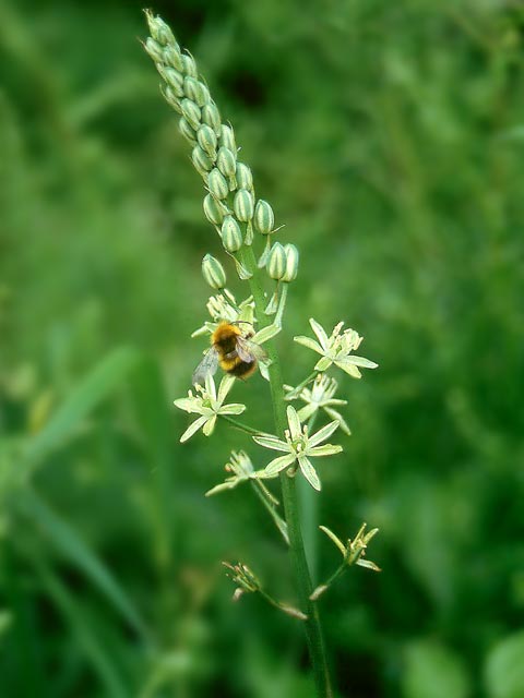
The flora and fauna of the common land contribute to the environmental diversity. The area has a diverse parkland with a history of its own which includes Prior Park, listed as Grade 1 in English Heritage’s Register of Historic Parks and Gardens. The underground quarries are home to lesser horse-shoe bats, a protected species, and their hibernation and day resting sites in quarry shafts were safely relocated during the stabilisation works. Foxes, badgers and deer are seen on the outskirts.
Street furniture in the form of mile stones, parish boundary stones, lamp posts, man-hole covers, street signs and various inscriptions on buildings are manifestations of the diverse history of the area.