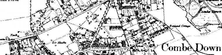
This survey, initially photographic, aims to record all public realm features in Combe Down and its close environs. The location of the features will be given an OS Grid Reference.
The survey is recording, inter alia, telephone boxes, pillar boxes, boundary markers, street lights, use of pennant stone in the highway and street and house names, including those no longer commonly used – many have changed over the years.
A willing hand is needed to make a simple database, perhaps using Excel or a Word Table. Help with scanning photographs is also needed. This project will make a contribution to the management of the World Heritage Site and, noting the Council’s Streetscape Manual, to the their Public Realm project. It is part of the Society’s comprehensive recording of Combe Down history.

The long drung
This work will also make an important contribution to future Society exhibitions. Funding towards its next stage has been obtained.